Climbing Moxie Bald Mountain takes some planning
By Ron Chase
Last winter, my son, Adam, and I completed a very stimulating climb of Mosquito Mountain near Moxie Pond in western Maine.
From the summit, we enjoyed a spectacular view of Moxie Bald Mountain, a peak that dominates the opposite side of the pond. The wonderful view motivated us to plan an ascent of the exposed pinnacle later in the winter.
Accessing the trailhead for Moxie Bald Mountain is a challenge, especially in winter. Despite several tentative plans to climb the barren summit last winter, we were unable to make the necessary arrangements to overcome the obstacles.
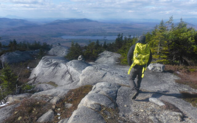
SUMMIT — A hiker is on the summit of Moxie Bald Mountain.
For us, hiking begins in earnest when fall arrives. Rather than wait for the complications winter brings, Adam and I decided on an early November trek to Moxie Bald Mountain while the roads were free of ice and snow.
Climbing Moxie Bald Mountain has been something of a family affair over the years. My wife Nancy and I have completed the hike several times. A couple of decades ago, my oldest son, Eric, and I backpacked to the summit where we enjoyed a star-filled night on top.
This would be the first attempt for Adam and me.
We met in West Forks on a cool, breezy partly sunny day. Driving northeast on Lake Moxie Road, we experienced a surprising encounter.
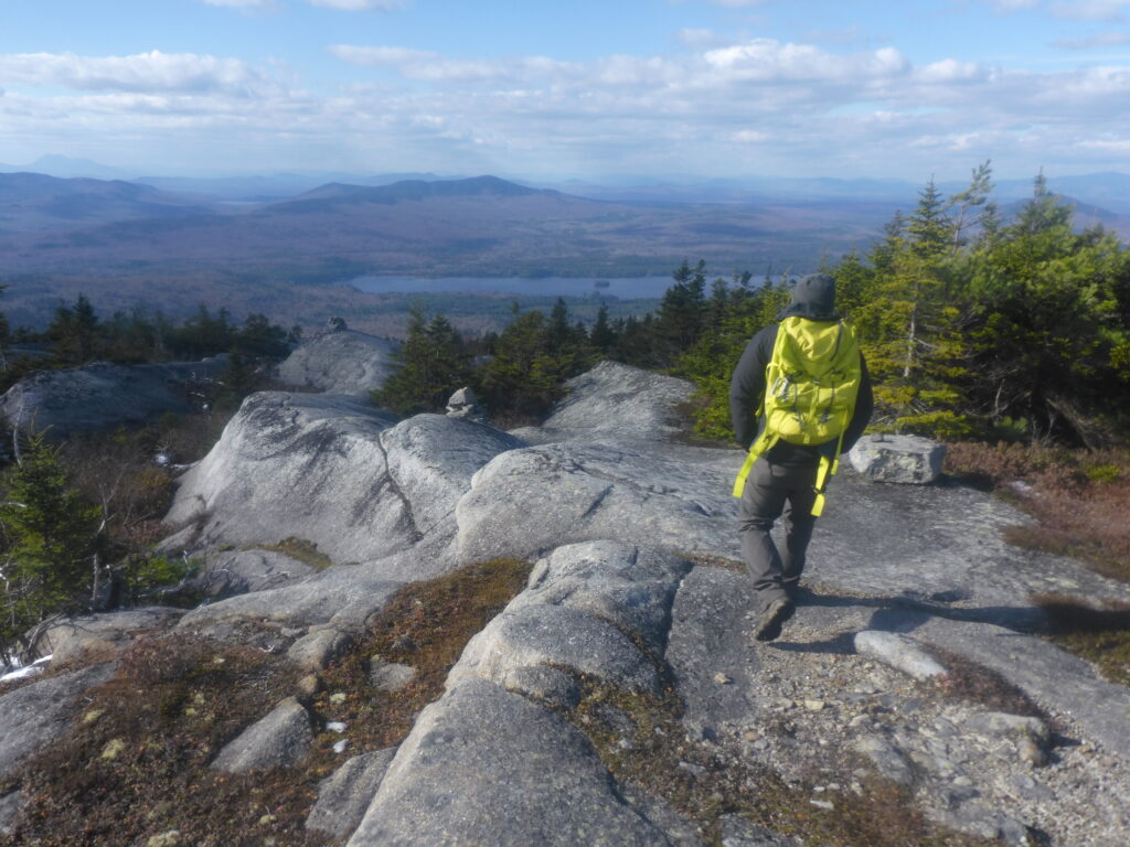
LEDGES — Hikers enjoy exceptional views from ledges above tree line on Moxie Bald Mountain.
In a heavily wooded sector, a furry four-legged creature was ambling across the road. Slowing the vehicle for a closer view, the tufted-ears and small tail were unmistakable; it was a Canada lynx.
The big cat quickly disappeared into the woods before either of us could find a camera. The rare sighting was a positive omen for our upcoming adventure.
Arriving at Moxie Pond, we turned right onto Troutdale Road. The rough narrow dirt passageway was initially in fair condition.
The surface worsened as we traveled south on the former railroad bed, because flooding had severely eroded a lengthy segment of the road. Careful maneuvering was required in our all-wheel-drive vehicle.
The Appalachian Trail provides the only trail access to Moxie Bald. It crosses Troutdale Road a little beyond the southern end of Moxie Pond.
The water level in that low-lying area was too high for hiking. We continued to a junction on the left and followed a rutted rocky road northeasterly to another Appalachian Trail crossing at a higher elevation.
We began our trek in a predominantly hardwood forest with the trail engulfed in recently fallen leaves.
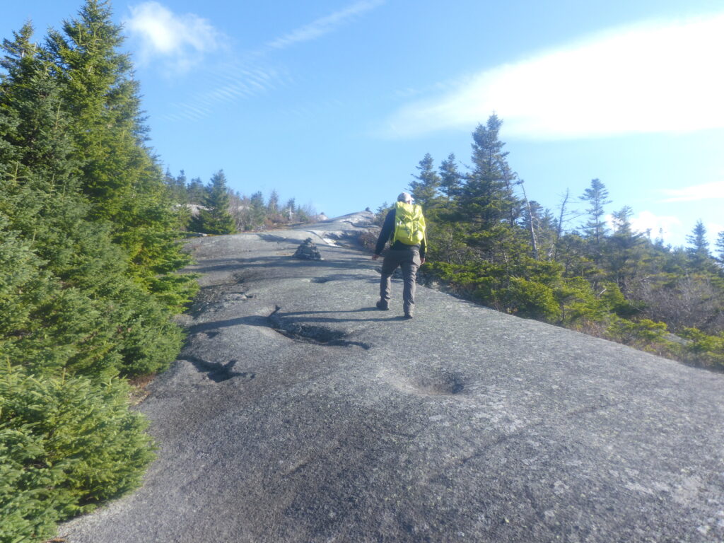
Although the path was mostly dry, there were a few wet areas that needed to be skirted. Gaining elevation, we entered a dense stand of conifers on a granite surface that was ideal for hiking.
The Appalachian Trail separated after a couple of miles. A right turn led to the summit while traveling left bypassed the peak. Angling right, we progressed steadily upward toward the top. Gigantic boulders cluttered the path in several locations. Open ledges provided us with exceptional views of the mountains to the west.
We emerged onto a continuum of narrow elevated ledges that seemed like a highway to heaven. The views were phenomenal in all directions as we persisted to the summit. Although windy, we donned parkas and paused to embrace the fabulous 360-degree vistas.
I pointed out the grassy spot where Eric and I erected our tent many years ago. In a perfect world, he and Nancy would have been there to share the moment.
From the summit, we had a clear view of the impressive North Peak. Although remaining daylight was limited due to the recent time change, we decided to attempt an ascent.
Based on our research, it appeared the most efficient route was to return to the junction and follow the bypass east to North Peak Trail. We completed the partial descent and began our search.
Alas, our efforts were unsuccessful. We followed the rolling path to where the bypass reconnected with the Appalachian Trail without any sign of North Peak Trail.
Viewed from open ledges, the barren summit appeared to be at least a mile away. There was insufficient time to complete a climb if we wanted to return before dark. North Peak would have to wait for another day.
During our drive out after completing the trek, we resolved to attempt another North Peak ascent in the near future. Maybe we’ll get a second glimpse of the lynx.
My book “Maine Al Fresco: The Fifty Finest Outdoor Adventures in Maine†narrates nine more exceptional mountain hikes around the state.